Geo-statistical techniques for territorial mapping of multiple disparities. The "geography" of the Calabria Region
Journal title ARCHIVIO DI STUDI URBANI E REGIONALI
Author/s Lucia Chieffallo, Annunziata Palermo, Maria Francesca Viapiana
Publishing Year 2022 Issue 2022/133
Language Italian Pages 26 P. 104-129 File size 348 KB
DOI 10.3280/ASUR2022-133005
DOI is like a bar code for intellectual property: to have more infomation
click here
Below, you can see the article first page
If you want to buy this article in PDF format, you can do it, following the instructions to buy download credits

FrancoAngeli is member of Publishers International Linking Association, Inc (PILA), a not-for-profit association which run the CrossRef service enabling links to and from online scholarly content.
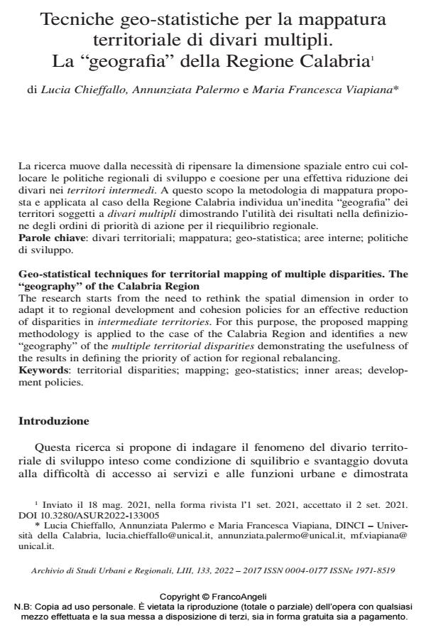
The research starts from the need to rethink the spatial dimension in order to adapt it to regional development and cohesion policies for an effective reduction of disparities in intermediate territories. For this purpose, the proposed mapping methodology is applied to the case of the Calabria Region and identifies a new "geography" of the multiple territorial disparities demonstrating the usefulness of the results in defining the priority of action for regional rebalancing.
Keywords: territorial disparities; mapping; geo-statistics; inner areas; development policies.
- Computational Science and Its Applications – ICCSA 2025 Workshops Maria Rosa Trovato, Ludovica Nasca, Salvatore Giuffrida, Vittoria Ventura, pp.232 (ISBN:978-3-031-97602-5)
Lucia Chieffallo, Annunziata Palermo, Maria Francesca Viapiana, Tecniche geo-statistiche per la mappatura territoriale di divari multipli. La "geografia" della Regione Calabria in "ARCHIVIO DI STUDI URBANI E REGIONALI" 133/2022, pp 104-129, DOI: 10.3280/ASUR2022-133005